Originally Blacktoft was a saltmarsh (like Blacktoft Sands today). There is scant evidence of habitation in Roman times as drainage machines have bought up the odd bit of Roman tile, pot and quern. Whether anyone else followed in the dark ages is not known. For in 1016 King Sweyn of Denmark sailed up the Ouse and destroyed all settlements on both sides, from the confluence of the Trent to Riccall “and no man could stop him”. According to sources at the time. Thompson, R., Historic Blacktoft, Gilberdyke Local History Group, 1998.
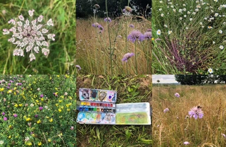
A look back through historic maps shows little change, but that the meadow which is the main focus of my Blacktoft work, was named after Horseshoe Landing and Horseshoe Lane on the Yorkshire 238 OS map, surveyed 1852.
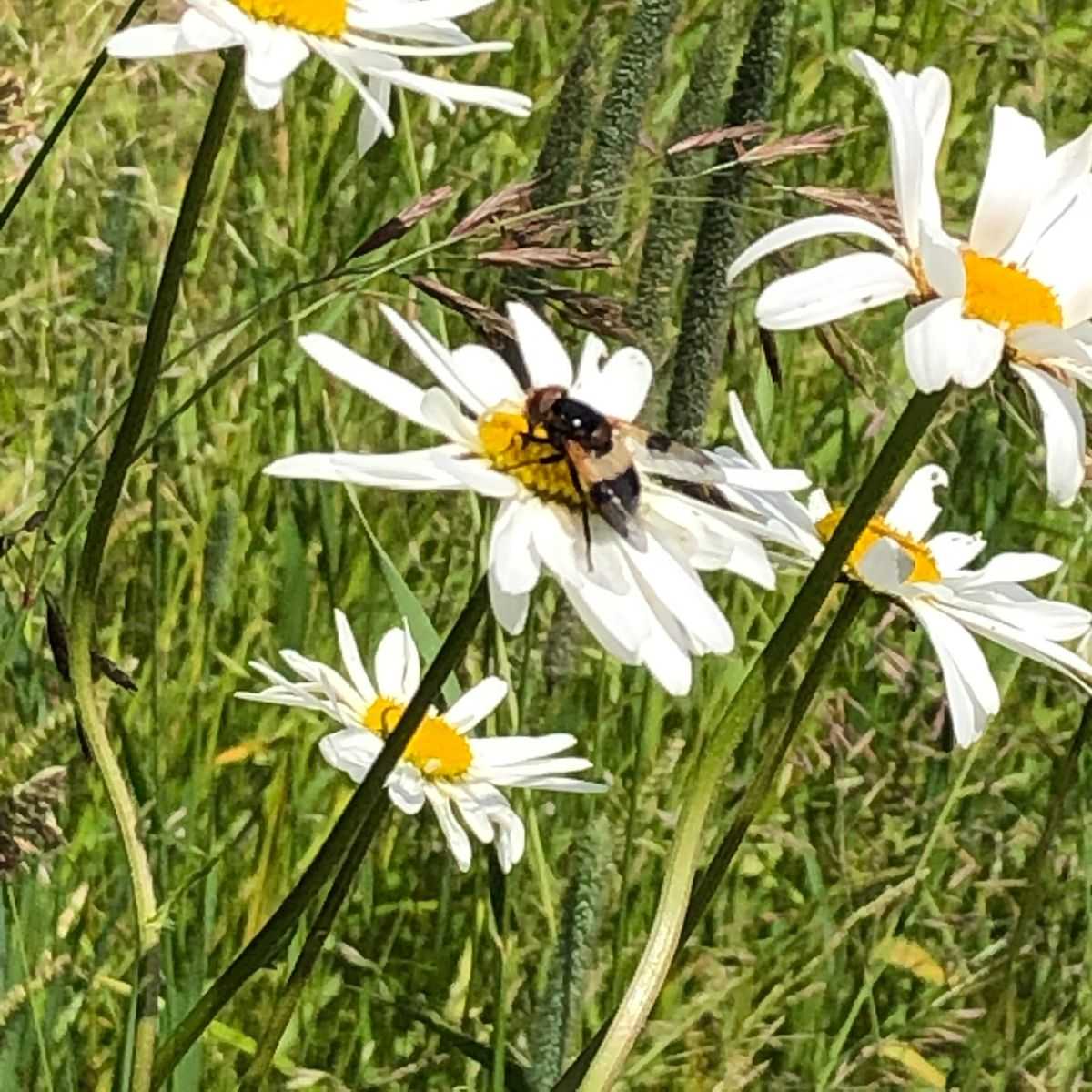
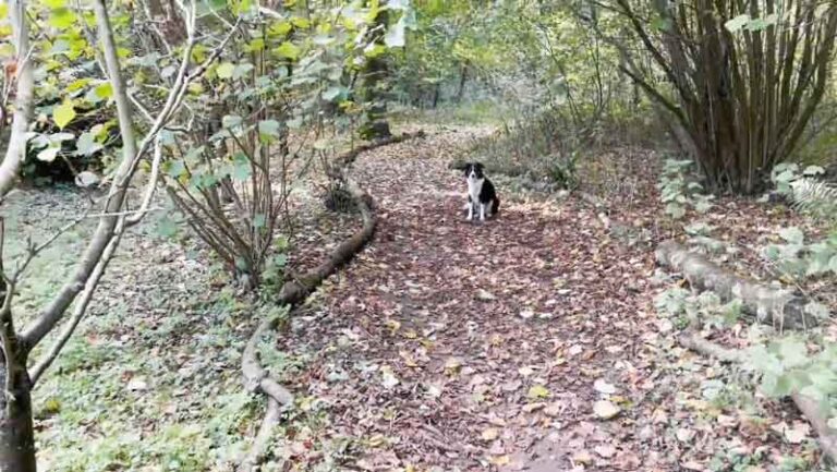
Today, Horseshoe Meadow is in its fourth year, having been for some time prior an arable field which the RSPB have taken on to create a meadow habitat to enhance the offer of the reserve. I first visited in 2018 and have been regularly documenting it in an informal way since January 2019, although recent covid-19 restrictions have interrupted that process – hopefully to re-start in April 2021.
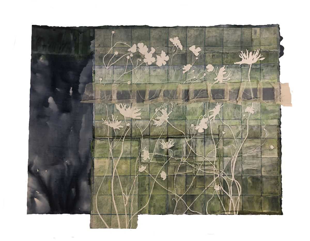
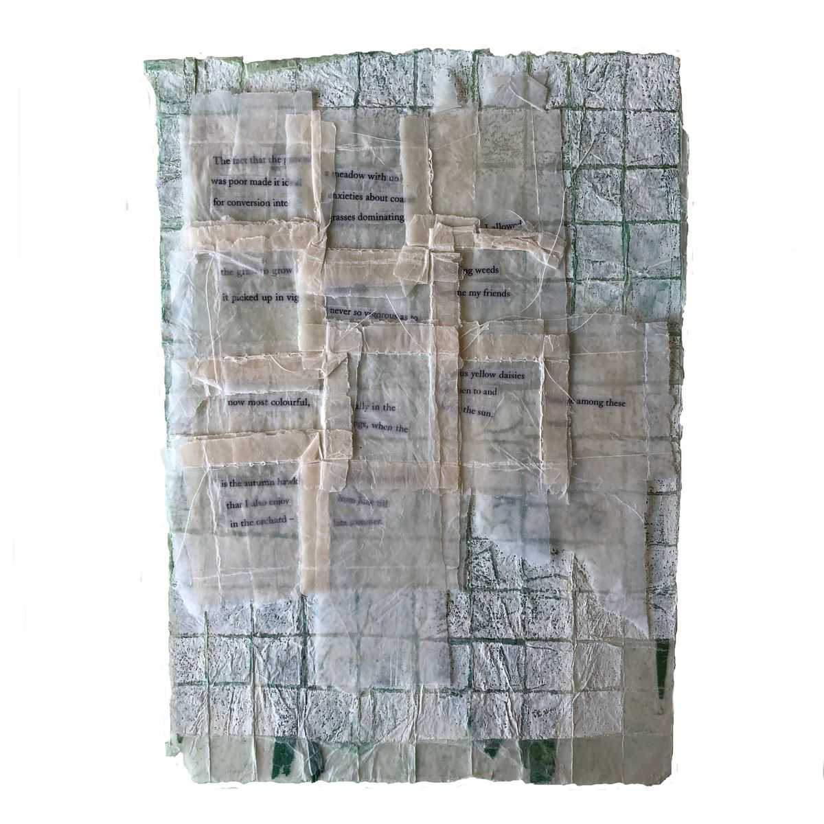
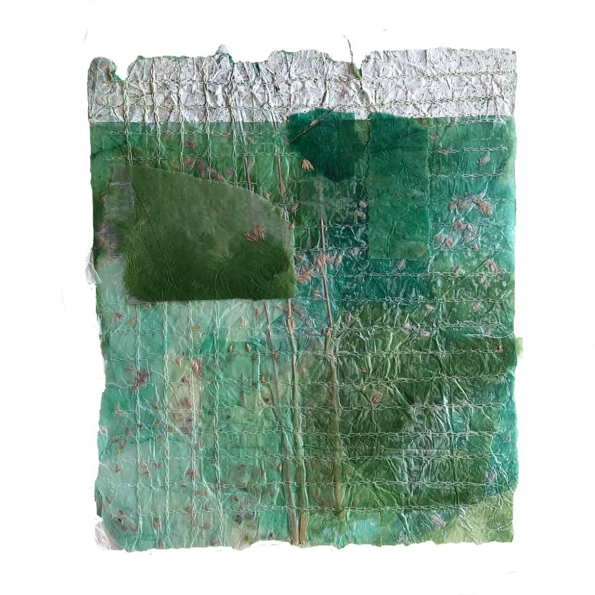
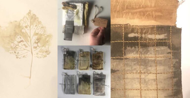
The series ASH (leaf fragmented) came from the row of trees which line the meadow; the meadow-work series itself is very much in its infancy as yet, but materials and process are very much to the fore in the making – I think because I have spent significantly more time sitting in, walking through and exploring the meadow with a view to creating a project about it.